Download my free report
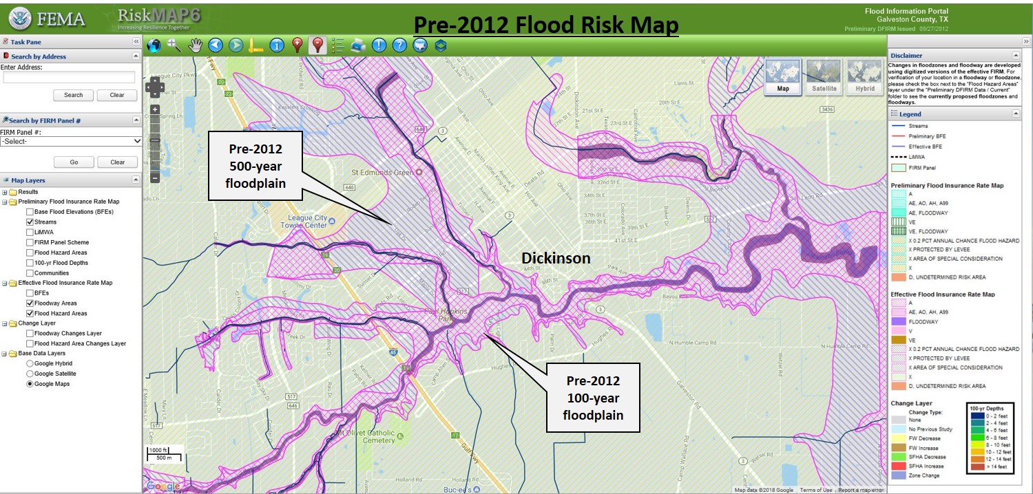
This report describes various methods for assessment of flooding risk in Clear Lake City, TX. It also presents a summary of damage from Hurricane Harvey to supplement the risk assessment. The included map products show publicly available data obtained from FEMA, Harris County, and the City of Houston.
The report is an example of what a private citizen with Graphic Information Systems (GIS) mapping knowledge can accomplish. Prospective homebuyers as well as current residents may find this type of study particularly beneficial.


Comments
Post a Comment